


[Torna all'inizio della pagina]
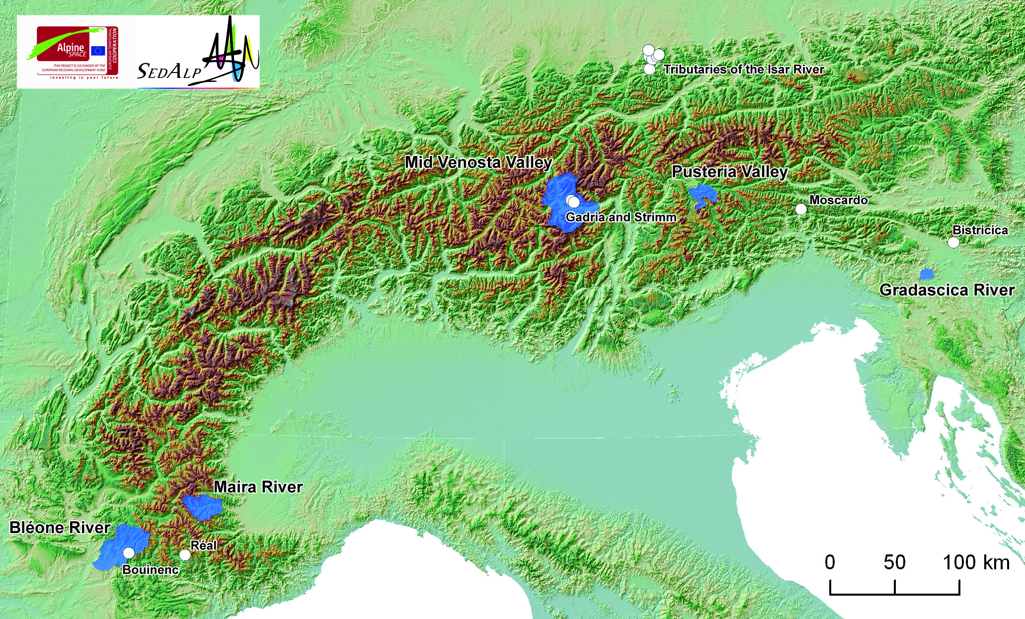
WP4 BASIN-SCALE SEDIMENT DYNAMICS
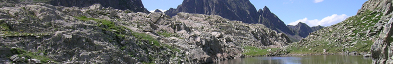
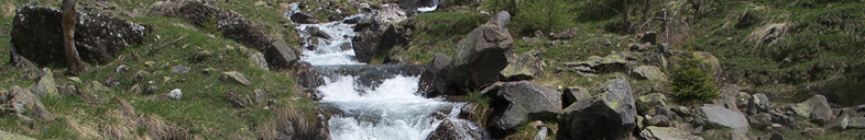
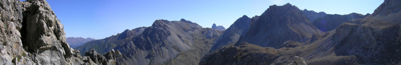
Sediment management in Alpine rivers must rely on careful analysis of the basin-scale sediment cascade. Sediment sources, storage sites, and transfer rates should be characterized before implementing restoration programs. Historical analysis of the linkages between source areas, channel forms, in relation to meteorological/anthropogenic forcing is also necessary to detect changes of sedimentary regimes over time. WP4 aims to develop tools for the analysis of sediment dynamics in mountain basins.
Actions
- Identification and quantification of sediment sources;
- Assessment of sediment connectivity;
- Estimation of sediment yield at different scales and for different geomorphic processes;
- Assessment of sediment cascades in relevant landscape settings including the disruption of continuity due to hydraulic structures;
- Historical analysis of basin responses to changing environmental conditions.
Expected outputs
- Four georeferenced databases of sediment sources.
- One GIS-based tool for mapping catchment-scale sediment connectivity with one manual for stakeholders.
- One GIS-based Fluvial Information System for detecting sediment availability\transfer and for characterizing channel-reach response potential with one manual for stakeholders.
- One conceptual soil erosion model that can be used for the description of long-term variations in suspended sediment yields.
- One report on guidelines for ranking basins and channel reaches in terms of geomorphic activity and hazard potential, including identification of critical stream sections.
WP4-leader
IRSTEA, Grenoble regional center, Snow avalanche engineering and torrent control research unit
Contact: Frédéric Liébault
frederic.liebault@irstea.fr